

The challenge
Before partnering with Schneider Geospatial, Hart County, Kentucky, relied on a GIS website managed by a single individual, making updates difficult. That person was often unavailable and, because they served multiple counties, timely assistance was hard to secure. The outdated platform was slow, not user-friendly, and challenging for both staff and the public to navigate.
Surveyors and appraisers frequently had to visit the office in person just to access basic information, creating unnecessary foot traffic and taking valuable time away from the staff. Data from the county’s system also had to be uploaded manually each day, a process that often caused delays when the responsible staff member was unavailable or working in the field.
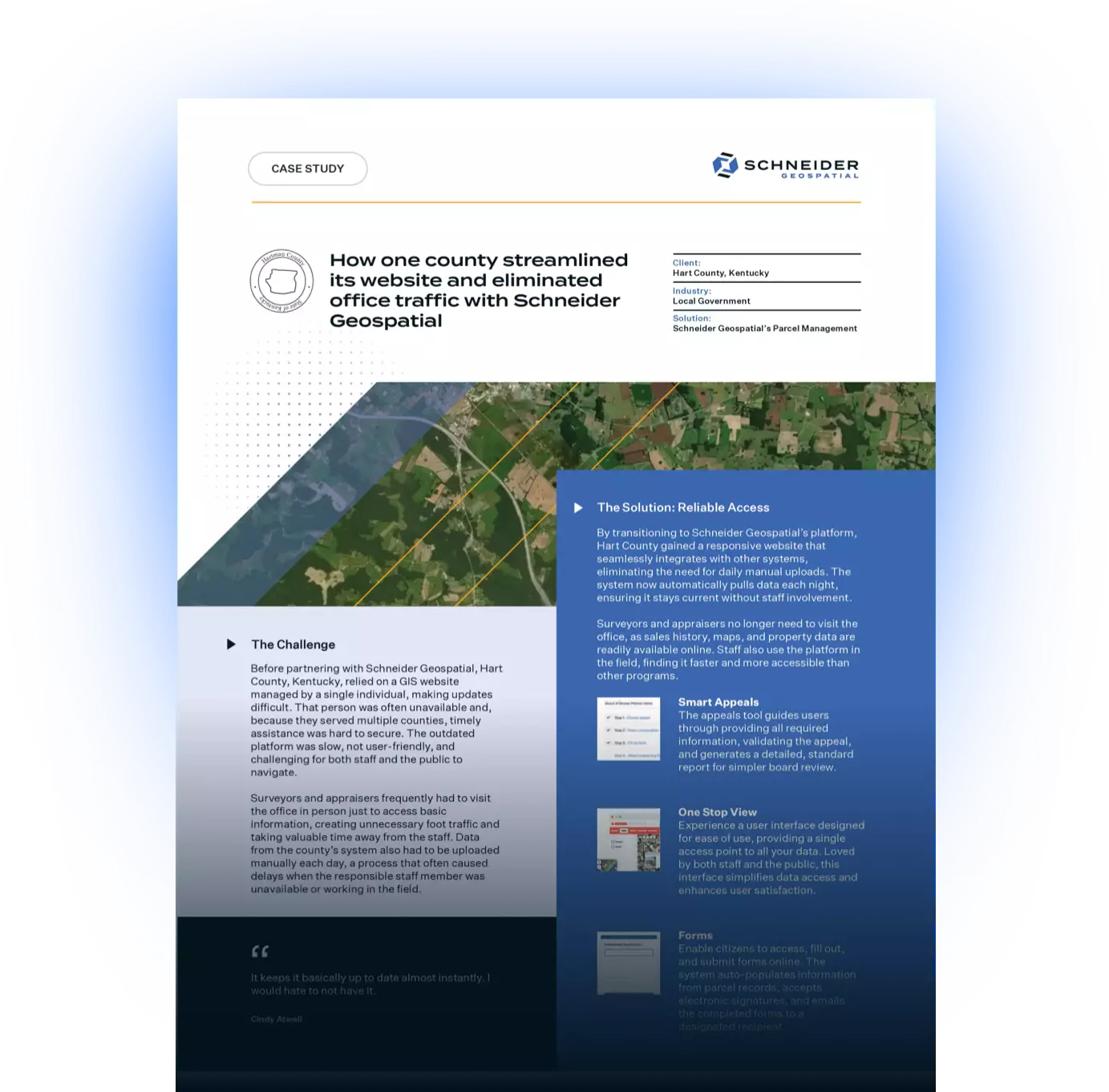
The solution: Reliable Access
By transitioning to Schneider Geospatial’s platform, Hart County gained a responsive website that seamlessly integrates with other systems, eliminating the need for daily manual uploads. The system now automatically pulls data each night, ensuring it stays current without staff involvement.
Surveyors and appraisers no longer need to visit the office, as sales history, maps, and property data are readily available online. Staff also use the platform in the field, finding it faster and more accessible than other programs.
“It keeps it basically up to date almost instantly. I would hate to not have it.”- Cindy Atwell
The impact
Hart County’s site is now modern, mobile-friendly, and effective in reducing unnecessary office visits. Its smartphone-optimized design has made it especially popular with real estate professionals, surveyors, and appraisers, who can quickly find the information they need without calling for assistance.
“The support team is excellent. I’m always happy when I get to talk to (them) because (they) always solve my problems or find someone that will.”- Cindy Atwell
Today, the county benefits from:
- A user-friendly, accessible website that is mobile-friendly
- Reduced office visits from surveyors and appraisers, thanks to easy online access
- Automated data integration that keeps property records current without manual uploads
- A responsive support team known for solving issues quickly and reliably
If your county is struggling with an outdated parcel management website or manual data access issues, Schneider Geospatial can help modernize your public-facing platform and reduce your staff workload. Request a demo today.
Download the PDF


Share