
Services
Simplifying Government Data Access
Whether you need solutions for appeals, appraisals, form submissions, or managing public works and municipal permits, we have cost-effective solutions that people love. More than 1,000 customers nationwide trust us to help them access accurate information easily.

Who We Serve
Staff Augmentation
Both government and private organizations are faced with the ongoing struggle to recruit, train, and retain the right skill sets for ever-changing needs.
We'll help you manage these fluctuating skill needs with industry-leading GIS talent that's available when you need it and for as long as you need it.

GIS Support
In addition to helping augment your team and set up your new site, we're also here to offer support to fit a range of needs and budgets.
All of our packages include unlimited phone and remote access support. Our system supports nearly half a billion requests for local government and GIS-related information every year.
Our support team consists entirely of Schneider Geospatial staff (no contractors) with a wide range of backgrounds and experiences. They are augmented by our extended staff of conversion technicians, GIS specialists, project managers, and developers you'll work with on a regular basis.
ArcGIS Services
We'll help you deploy, configure, and customize your Esri ArcGIS Enterprise or Esri ArcGIS Online.
Trusted by 1,000+
local governments
Case Studies

case study
Parcel
Featured
Transforming Gordon County with Schneider Geospatial's Parcel Management Tools
In the heart of Georgia, Gordon County was grappling with the common but complex challenges faced by many local governments. The need for efficient data accessibility, streamlined document management, improved operational efficiency, and enhanced interdepartmental collaboration was more pressing than ever. With the onset of the COVID-19 pandemic, these challenges were magnified, requiring a swift and effective solution.
Read More

case study
Parcel
How Hamilton County, Iowa Solved Efficiency Challenges with Schneider Geospatial's Parcel Management Solutions
Hamilton County, Iowa faced significant inefficiencies in their public services due to the lack of a comprehensive parcel management solution.
Read More
case study
Permitting & Licensing
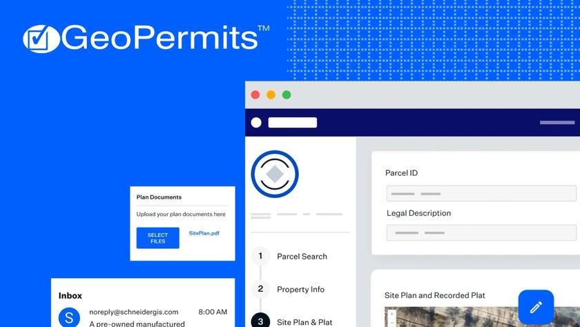
Revolutionizing Lyon County's Planning and Zoning with Schneider Geospatial’s Permitting Solution
In Lyon County, Kansas, the planning and zoning department faced significant challenges with an antiquated, paper-based permitting process. The cumbersome system required 14 steps for permit approval, resulting in delays of up to two months. The need for a modern solution was clear, and Schneider Geospatial’s permitting solution emerged as the perfect fit.
Read More
Schedule a 15-minute learning session.
We'll talk with you about best practices for parcel management, and the solutions other local governments are using, so you're fully informed.
Request a Demo