

The challenge
In Richmond County, Georgia, Deputy Chief Appraiser Brian Funk and the assessor’s office needed a better way to manage property data and appeals. Clerical staff were spending valuable time walking residents through questions that could have been answered online, and the office wanted a system that could help residents help themselves without creating more work for the county.
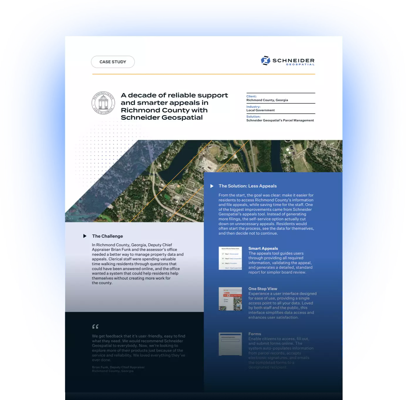
The solution
From the start, the goal was clear: make it easier for residents to access Richmond County’s information and file appeals, while saving time for the staff. One of the biggest improvements came from Schneider Geospatial’s appeals tool. Instead of generating more filings, the self-service option actually cut down on unnecessary appeals. Residents would often start the process, see the data for themselves, and then decide not to continue.
We get feedback that it’s user-friendly, easy to find what they need. We would recommend Schneider Geospatial to everybody. Now, we’re looking to explore more of their products just because of the service and reliability. We loved everything they’ve ever done.- Brian Funk
The impact
For more than a decade, Richmond County has continued to rely on Schneider Geospatial as a trusted partner. The tools have made day-to-day operations more efficient, reduced the burden on staff, and helped the county build public trust. Importantly, Schneider Geospatial’s support team remains as responsive as ever, often resolving issues within a single day.
Today, Richmond County benefits from:
- A user-friendly online system that reduces unnecessary appeals
- Streamlined workflows for staff with less time spent answering basic questions
- A long-term partnership with Schneider Geospatial, which continues to deliver year after year
I’ve worked with multiple vendors, and none of our experiences have been even close to what it is here.- Brian Funk
With 10+ years of excellent service under their belt, Richmond County now has the technology needed to serve their community.
If your local government is dealing with outdated systems or needs a better way to manage appeals and property data, Schneider Geospatial can help you move forward with confidence. Request a demo today.
Download The PDF


Share