

The challenge
Lisa Jackson, Director of Planning and Development, was dealing with a permitting system in Putnam County, GA that simply didn’t work. The system didn’t allow the public to submit permits online, which meant more paperwork and more in-person visits. It was also unstable and crashed all the time, creating major delays for her team. These delays led to permits being backed up, frustrating her team and the community.
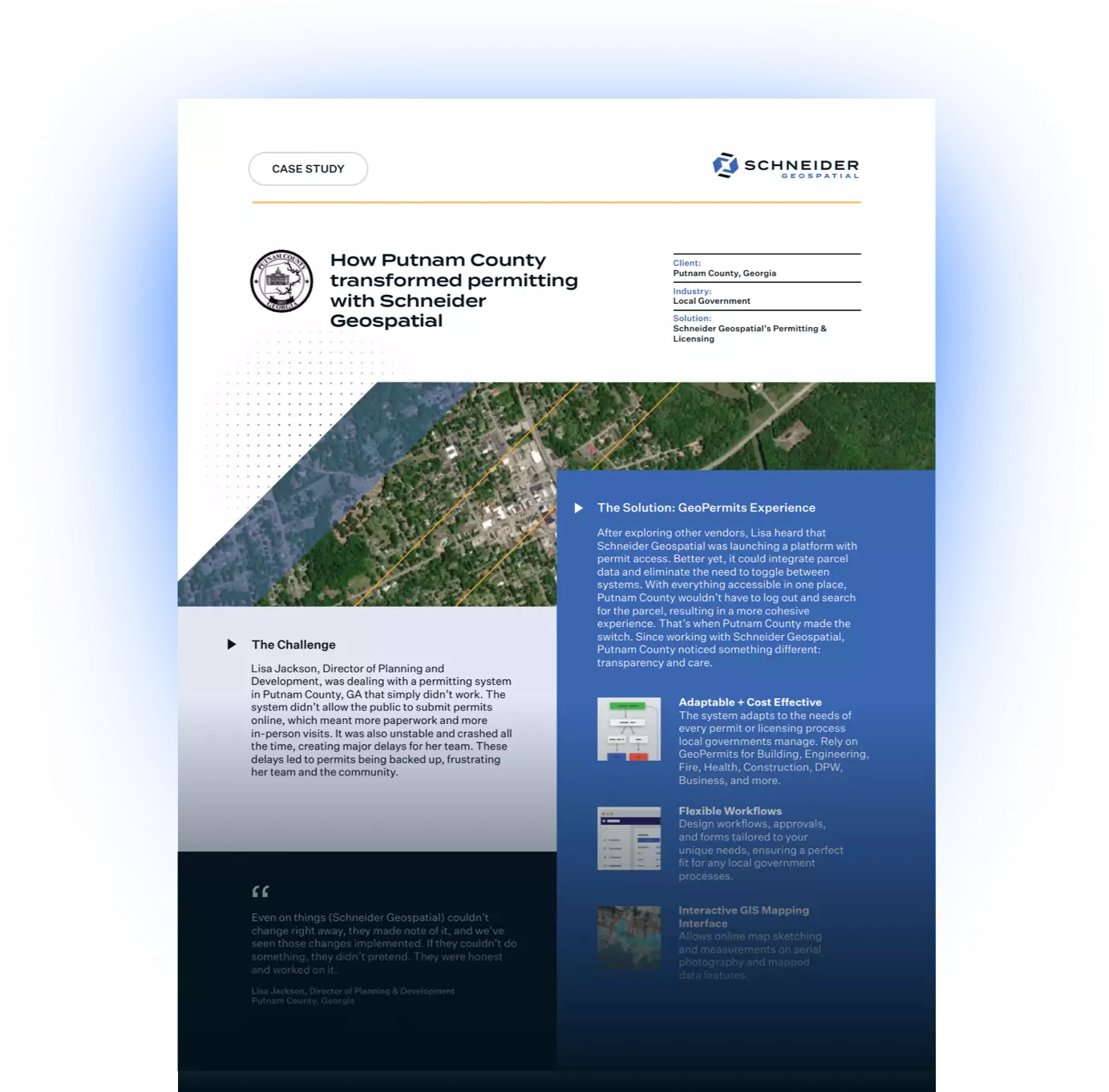
The solution
After exploring other vendors, Lisa heard that Schneider Geospatial was launching a platform with permit access. Better yet, it could integrate parcel data and eliminate the need to toggle between systems. With everything accessible in one place, Putnam County wouldn’t have to log out and search for the parcel, resulting in a more cohesive experience. That’s when Putnam County made the switch. Since working with Schneider Geospatial, Putnam County noticed something different: transparency and care.
Even on things (Schneider Geospatial) couldn’t change right away, they made note of it, and we’ve seen those changes implemented. If they couldn’t do something, they didn’t pretend. They were honest and worked on it.- Lisa Jackson
The impact
Thanks to Schneider Geospatial, permits now move faster for applicants and the county. Residents can apply, upload documents, and receive their plans without stepping into the office, and Putnam County has full visibility into every step. The new tracking system means that if someone calls and asks about a delay, the department staff can read the permit summary and show them exactly what happened.
You could not go wrong with this product and this company. I told someone the other day: jump. Make the move.- Lisa Jackson
Today, Putnam County benefits from:
- A modern permitting system that the public can access
- Built-in tracking for faster responses and accountability
- A partnership with Schneider Geospatial’s team, who listen, respond, and continue to innovate
One thing that really stood out was the overall effort of everyone I worked with to make sure that I was happy. Even the things they didn’t have access to change immediately, they made note of it, and those changes are being implemented.- Lisa Jackson
With faster turnaround times, public access, and a team they trust, Putnam County now has the tools to do their jobs better and serve their community without the setbacks they used to face.
If your local government is dealing with delays or outdated permitting tools, Schneider Geospatial can help you move forward with confidence. Request a demo with Schneider Geospatial today.
Download The PDF


Share