

The challenge
Shalee Mallory, Chief Appraiser for Harris County, Georgia, knew the volume of assessment inquiries her office received every year was a strain. As soon as assessment notices were mailed out, the phones would start ringing and wouldn’t stop for two months. Responding to each call meant digging through a massive archive of 20,000+ PDFs to find the exact document the taxpayer was referencing. It was time-consuming, inefficient, and frustrating for both staff and residents.
Additionally, the staff required more effective tools to anticipate which comparable properties taxpayers might reference, manage administrative permissions, and safeguard parcel data by restricting edits to authorized users only.
“The support from Schneider has been really fast and really efficient. There’s not been a barrier, and when there has been, there’s been a really good explanation as to why (it took) more than a day to have something resolved or addressed.”- Shalee Mallory
The solution: Smarter Property Insights
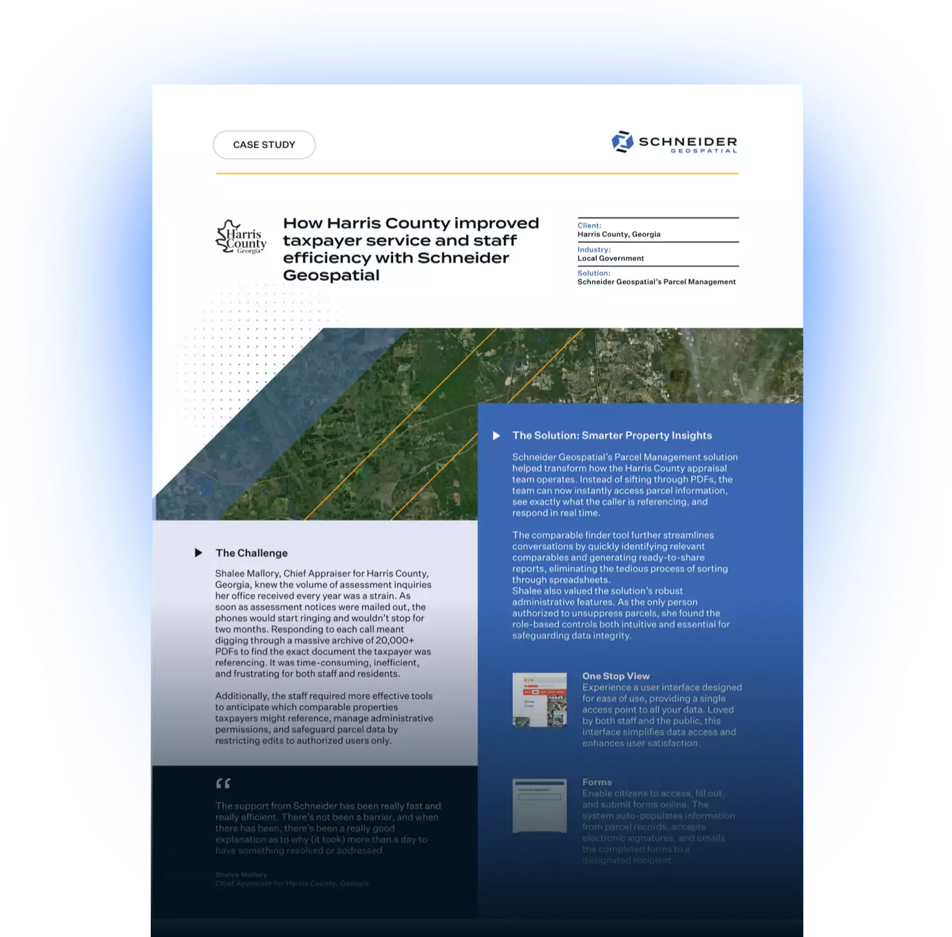
Schneider Geospatial’s Parcel Management solution helped transform how the Harris County appraisal team operates. Instead of sifting through PDFs, the team can now instantly access parcel information, see exactly what the caller is referencing, and respond in real time.
The comparable finder tool further streamlines conversations by quickly identifying relevant comparables and generating ready-to-share reports, eliminating the tedious process of sorting through spreadsheets.
Shalee also valued the solution’s robust administrative features. As the only person authorized to unsuppress parcels, she found the role-based controls both intuitive and essential for safeguarding data integrity.
“If you’re on the fence, just do it, because you’re not going to be disappointed. You’ll have the support you need.”- Shalee Mallory
The impact
Schneider Geospatial’s support has been fast, clear, and reliable, marking a significant improvement over past experiences. Even in the rare case of a delay, the reasons are well communicated and addressed promptly.
Today, Harris County benefits from:
- Instant access to assessment notices and no more PDF digging
- Comparable finder tools that make taxpayer calls faster and more informative
- Administrative-level controls that simplify permissions and protect sensitive data
- Responsive, transparent support from the Schneider Geospatial team
Shalee and her team transformed what was once a two-month scramble into a streamlined, responsive process that delivers better service to both taxpayers and staff. If your county or municipality is burdened by outdated workflows or lengthy call times, Schneider Geospatial has the tools and expertise to help. Request a demo today.
Download the PDF


Share