

The challenge
Chris Seay, Residential Appraiser Supervisor for Forsyth County, Georgia, knew his team was spending too much time in the office. The appraisers took hours to manually sort through data like parcel numbers, neighborhood stats, and square footage metrics. Preparing for a hearing could take over an hour, pulling reports and gathering photos, leaving less time for work in the field.
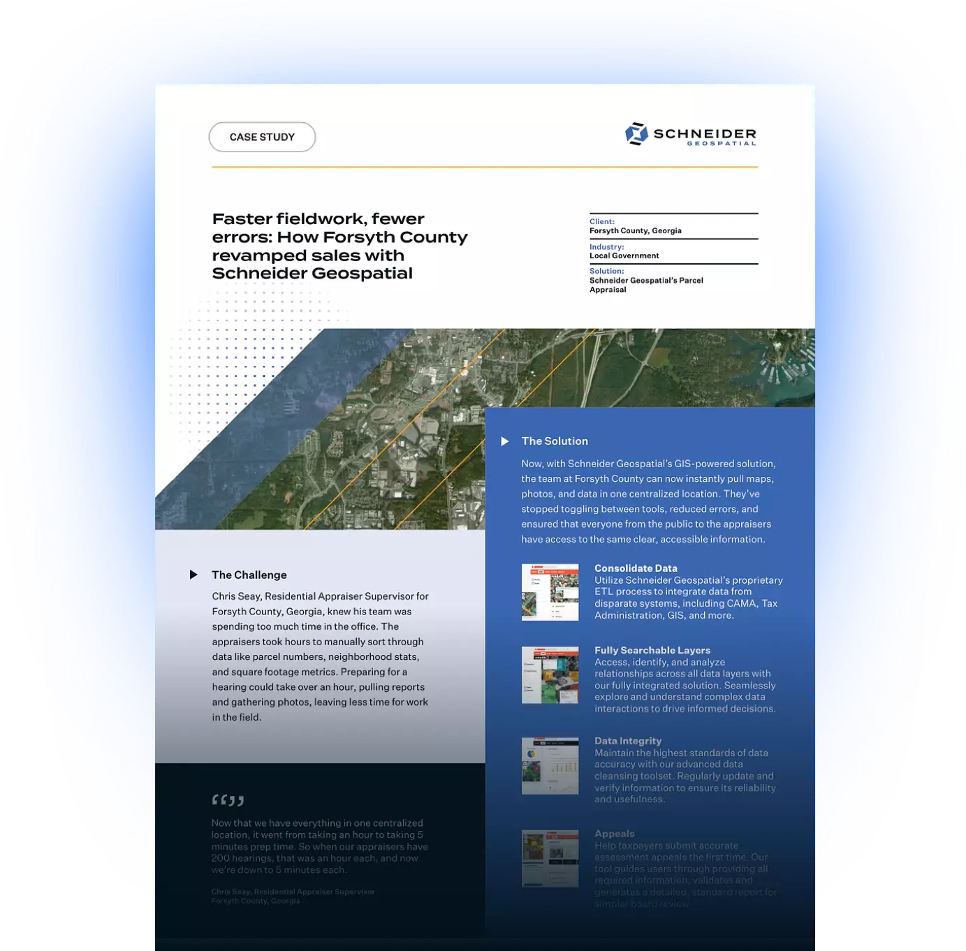
The solution
Now, with Schneider Geospatial’s GIS-powered solution, the team at Forsyth County can now instantly pull maps, photos, and data in one centralized location. They’ve stopped toggling between tools, reduced errors, and ensured that everyone from the public to the appraisers have access to the same clear, accessible information.
Oh, I would highly recommend it — from small counties to large counties, it gets the information so you’re not hiding anything and shows how accurate our work is.- Chris Seay
The impact
Forsyth County has saved upwards of 180+ hours in time. Instead of tediously preparing for multiple hearings in the office, the appraisers can now spend that time creating real value and impact in the field. Additionally, the transparency that the solution provides is a win for public trust.
Now that we have everything in one centralized location, it went from taking an hour to taking 5 minutes prep time. So when our appraisers have 200 hearings, that was an hour each, and now we’re down to 5 minutes each.- Chris Seay
Today, Forsyth County can:
- Quickly find accurate data — no more error-prone manual sorting
- Cut prep time from hours to minutes — up to 200 hearings now take a fraction of the time
Share consistent data — the public sees exactly what the county sees
It’s really allowed the guys to spend more time in the field versus sitting in the office preparing for multiple hearings.- Chris Seay
Forsyth County’s story is a clear example of how Schneider Geospatial tools can dramatically improve workflows, accuracy, and trust in appraisal departments. If your county is ready to spend less time in the office and more time in the field, request a demo with Schneider Geospatial today.
Help taxpayers submit accurate assessment appeals the first time. Our tool guides users through providing all required information, validates the appeal, and generates a detailed, standard report for simpler board review.
Download the PDF


Share