

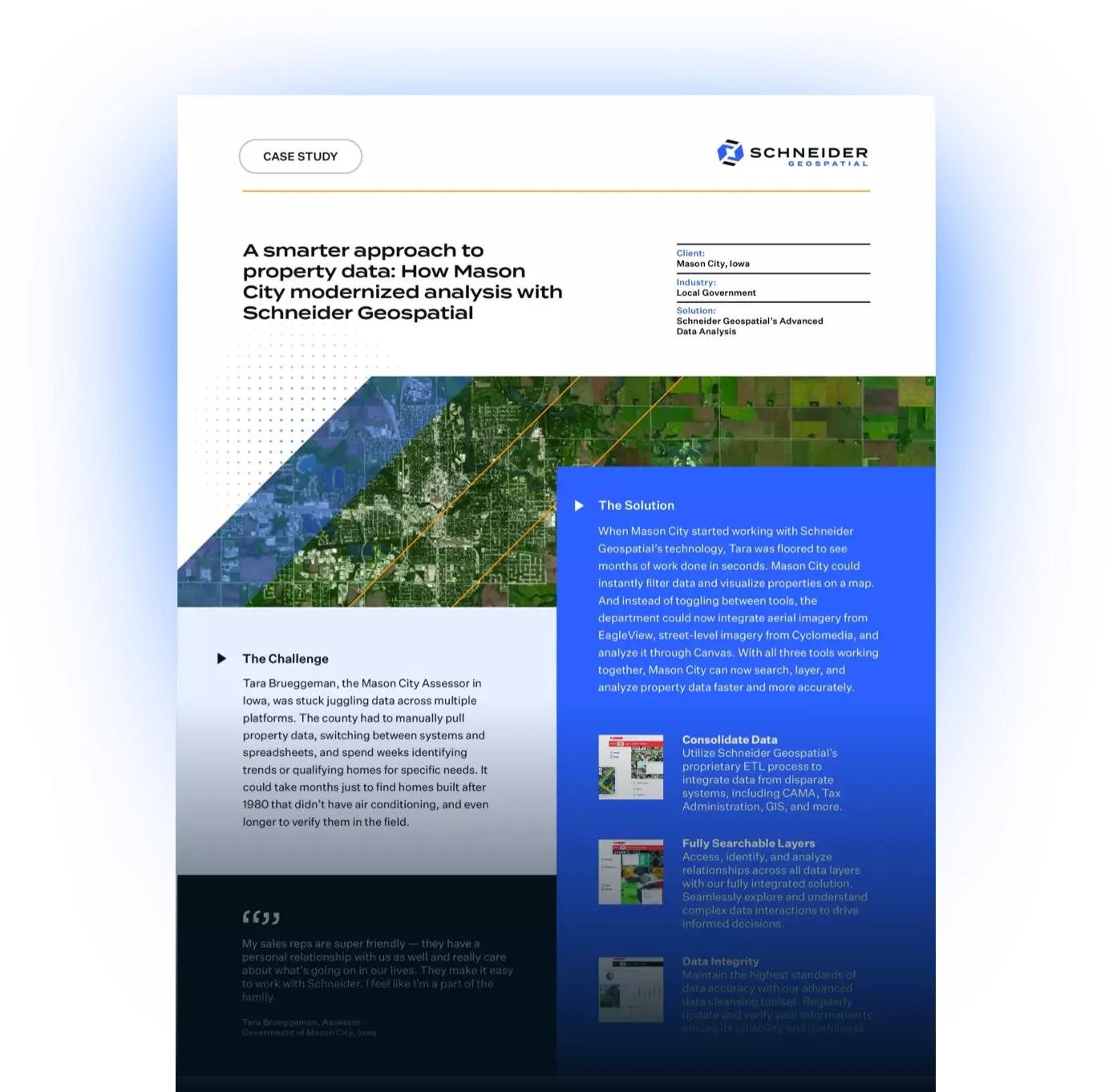
The challenge
Tara Brueggeman, the Mason City Assessor in Iowa, was stuck juggling data across multiple platforms. She had to manually pull property data, switching between systems and spreadsheets, and spend weeks identifying trends or qualifying homes for specific needs. It could take months just to find homes built after 1980 that didn’t have air conditioning, and even longer to verify them in the field.
The solution
When she started working with Schneider Geospatial’s technology, Tara was floored to see months of work done in seconds. She could instantly filter data and visualize properties on a map. And instead of toggling between tools, she could now integrate aerial imagery from EagleView, street-level imagery from Cyclomedia, and analyze it through Canvas. With all three tools working together, Tara can now search, layer, and analyze property data faster and more accurately.
The impact
Working with Schneider Geospatial has not only saved Mason City time, but has also helped the Assessor department focus on its role to make a more meaningful, deeper impact. Mason City is now able to:
- Cleanse and refine data cleansing — can now easily filter by custom criteria and view layered property information.
- Save time in the field — can avoid unnecessary visits and focus only on relevant properties.
Build trust with her community – can now present data findings in a way that works for the jurisdiction, ensuring due diligence to make more informed decisions.
"My sales reps are super friendly — they have a personal relationship with us as well and really care about what’s going on in our lives. They make it easy to work with Schneider. I feel like I’m a part of the family."- Tara Brueggeman
Tara’s experience shows how smart data systems like Schneider Geospatial can help assessors like her make a major impact in communities.
If your county or municipality is looking for a better way to consolidate property data and enhance appraisal workflows, get in touch with our team to request a demo.
"I would absolutely recommend Schneider to others. I think [the] customer support is phenomenal, I think the products meet the needs of my taxpayers, and I have no complaints."- Tara Brueggeman
Utilize Schneider Geospatial’s proprietary ETL process to integrate data from disparate systems, including CAMA, Tax Administration, GIS, and more.
Access, identify, and analyze relationships across all data layers with our fully integrated solution. Seamlessly explore and understand complex data interactions to drive informed decisions.
Maintain the highest standards of data accuracy with our advanced data cleansing toolset. Regularly update and verify your information to ensure its reliability and usefulness.
Download the PDF


Share