Platform
Empowering Communities with Location-Based Data
Transform your government operations with Schneider Geospatial. Our platform liberates location-based data, empowering local governments to efficiently serve and support their communities.
Who We Serve
Explore Our Comprehensive Solutions


Empowering Government Efficiency: Unleash the Power of Location-Based Data
Schneider Geospatial provides a robust platform designed to revolutionize how local governments operate. Our integrated solutions harness the power of location-based data, enabling you to streamline workflows, enhance citizen engagement, and make data-driven decisions with confidence.
Unified Data Management
Seamlessly integrate various data sources for a comprehensive view of your operations.
User-Friendy Interface
Intuitive design that makes it easy for staff and citizens to access and use the system.
Customizable Workflows
Tailor the platform to meet the specific needs of your community with flexible workflows and forms.
Advanced Analytics
Utilize powerful tools to analyze data, generate reports, and derive actionable insights.
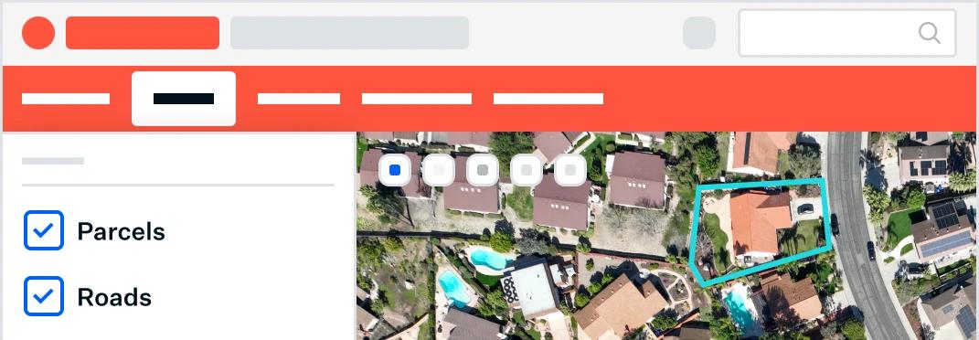
GIS Integration
Leverage interactive maps & spatial data to enhance planning and management across departments.
Modernize Property Processes: Indispensable Tools for Parcel Management
Upgrade your office workflows with a centralized digital solution for appraisals, appeals, sales searches, forms, and more.
Integrate
Compile and analyze data in real-time for better decision-making.
Learn More
Search
Quickly find accurate, map-based information.
Learn More
Visualize
Create powerful visuals and see your data on a map with just a few clicks.
Learn More
Analyze
Generate detailed comparable property reports.
Learn More
Engage
Empower citizens with easy access to parcel data and tools for submitting appeals, forms, and more.
Learn More
Simplify, Streamline, Succeed: Efficient Tools for Modern Permitting and Licensing
Transform your permitting and registration processes into fast, efficient workflows. Eliminate manual paperwork and fragmented systems.
Efficient + Transparent
Create seamless permitting processes for staff and citizens, saving hours with custom online processes, forms, and fee collection tools.
Learn More
Adaptable + Cost-Effective
Use our system for any permit or license type, including building, engineering, fire, health, and more.
Learn More
User-Friendly
Access from any device without new hardware or software.
Learn More
GIS Integration
Interactive mapping for easy permit location selection and sketching.
Learn More
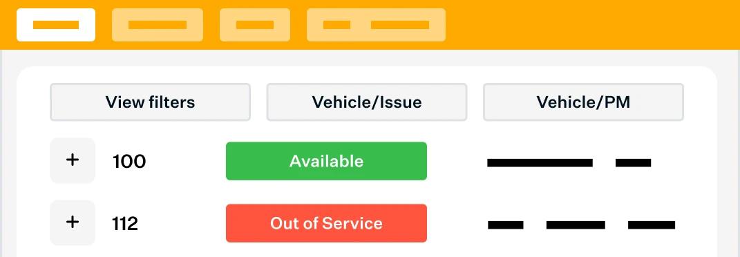
Digital Tools for Effective Asset Management
Boost your field crews' efficiency and operational effectiveness with our integrated platform for managing water, sewer, fleet, streets, and more.
Work Orders
Manage service requests, work orders, time tracking, and reporting seamlessly.
Learn More
Water
Streamline mapping, inspection, maintenance, and management of water systems.
Learn More
Stormwater
Simplify compliance and field operations for stormwater systems.
Learn More
Streets & Sewer
Efficiently manage street and sewer systems.
Learn More
SnowOps & Fleet Management
Maximize efficiency and streamline operations during snow events and fleet management.
Learn More
Centralize Your Data
Simplifying Government Data Access
Whether you need solutions for appeals, appraisals, form submissions, or managing public works and municipal permits, we have cost-effective solutions that people love. More than 1,000 customers nationwide trust us to help them access accurate information easily.

Trusted by 1,000+
local governments
Our Solutions
Explore our GIS-integrated tools
Have a question?
Contact our Sales Team
Parcel Management
Integrated information for better decision making and citizen engagement. Our platform integrates with CAMA, Tax Administration, and other systems, giving you unified tools for appraisals, appeals, sales searches, forms, and more.

Permitting & Licensing
Make permits, licenses and applications easily accessible online. Discover affordable solutions for buildings, marriage, construction, electrical, alcohol, and more.


Asset Management
Discover powerful digital tools that make work more accurate and efficient. Find solutions for monitoring and managing fleet, work orders, permits, infrastructure, water systems, and more.